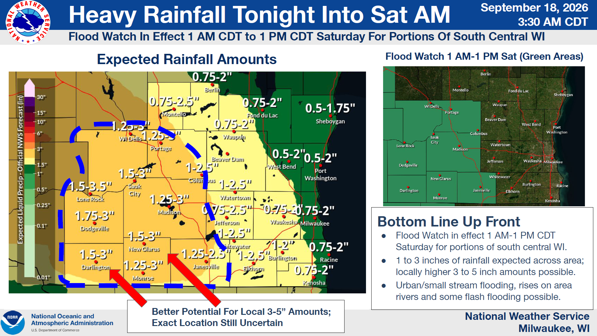
The National Weather Service is getting more confident in where trouble from heavy rain will be found in Wisconsin, and that’s giving a breather to Sheboygan County.
The long-duration rain event begins tonight and will last into Sunday, but the heaviest rain is expected to fall between midnight tonight and noon on Saturday when amounts from one-half to one-and-three-quarters of an inch could fall in Sheboygan County. Some locations could get between 3 and 5 inches in multiple rounds of storms, but that’s most likely in south-central Wisconsin west of a Janesville to Wisconsin Dells line where a flood watch is in effect from 1 AM until 1 PM tomorrow.
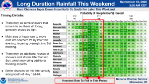
NWS Graphic
While Saturday appears to be a washout, Sunday’s rain probability is down to 40%, suggesting an umbrella may be a good idea to have along, but not needed at all times. Temperatures this weekend will be in the mid-60s during the day and mid-50s at night.





Comments