Forecasters with the National Weather Service in Milwaukee are now casting a cautious eye towards possible hazards in Wisconsin this weekend, with the Sheboygan area placed in the bullseye for now. Meteorologists say they’re seeing a growing potential for several rounds of thunderstorms from Friday through late Sunday, bringing risks of heavy rain and a threat of severe thunderstorms.
Current forecast models are giving a 50-60 percent chance for 2-3 inch rainfall totals between Friday and Late Sunday in Wisconsin, with early forecasts suggesting at least an inch or two in the Sheboygan area. Rain will probably extend into the first part of the coming week as well.
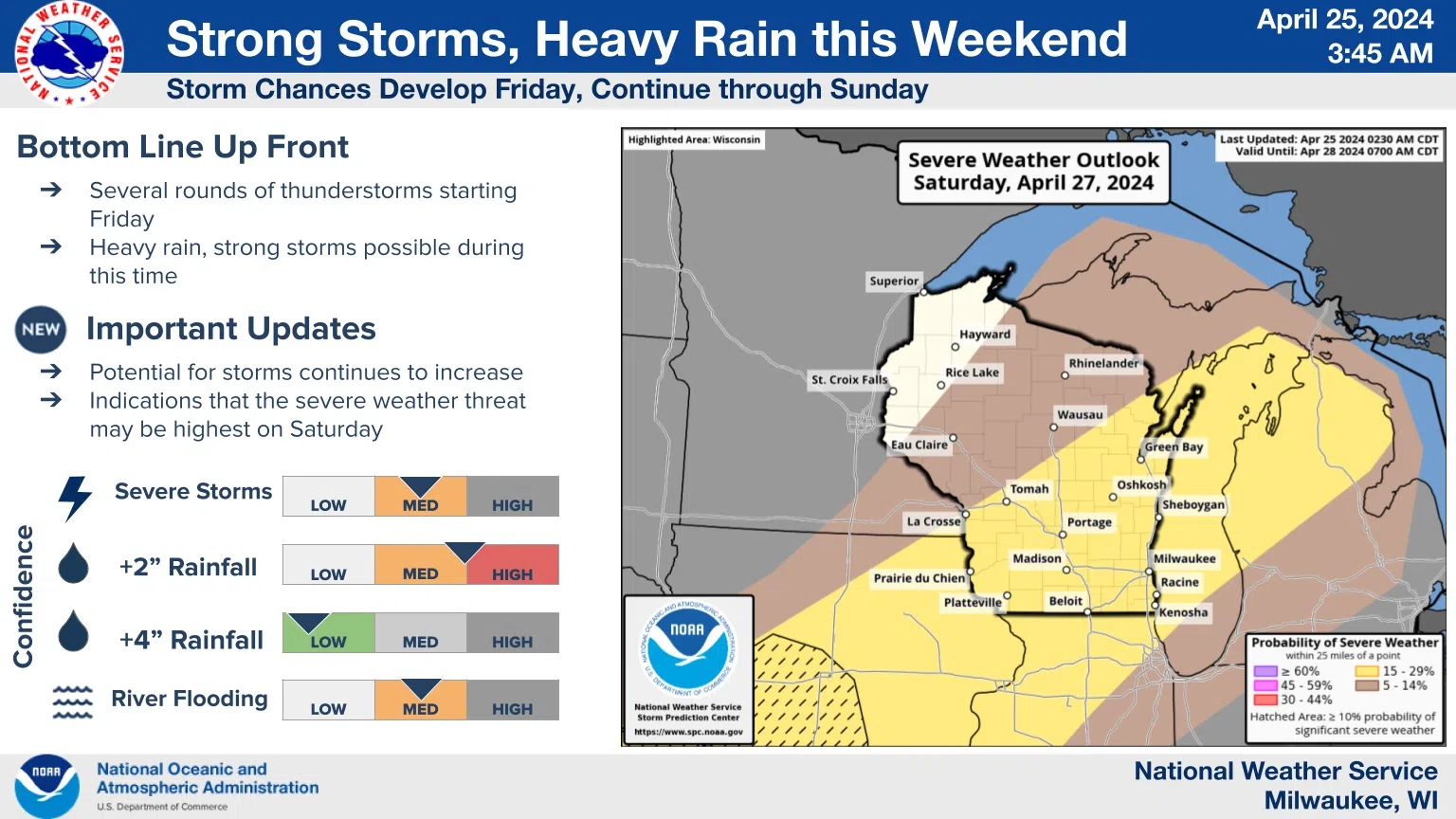
The severe weather threat is a bit harder to nail down at this point, although Saturday has the highest potential right now. The likelihood that any of several rounds of storms could turn severe is given a medium confidence with Sheboygan County squarely placed in the zone of concern, but forecasters emphasize the need to stay abreast of developments as better forecasts become available.
The good news is that after a hard freeze in much of the county overnight, temperatures are headed upwards, possibly reaching the 60s and 70s by Sunday.


Comments